Booking
Open
Project Area
531 Acres
Project Type
Land
Project Location
Sherman, TX
INFO
Project Highlights
Land area : 531.87 Acres
Address : Shephard place, Sherman,Tx, 75092.
City Limits : City of Sherman
Property ID : 127649 (472.58 ac), 128726 (24.04 ac), 127647 (35.25 ac)
CAD URL:
Project Infromatiom
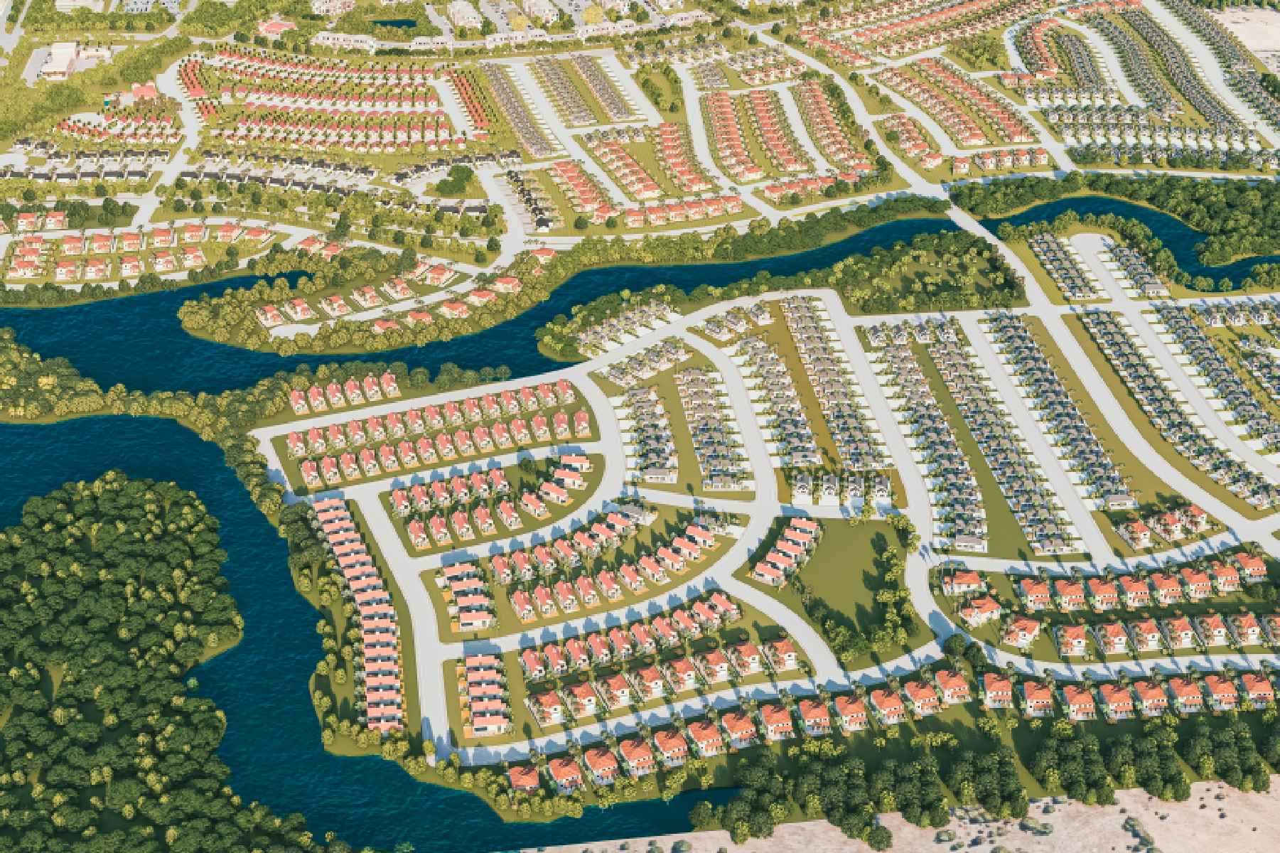
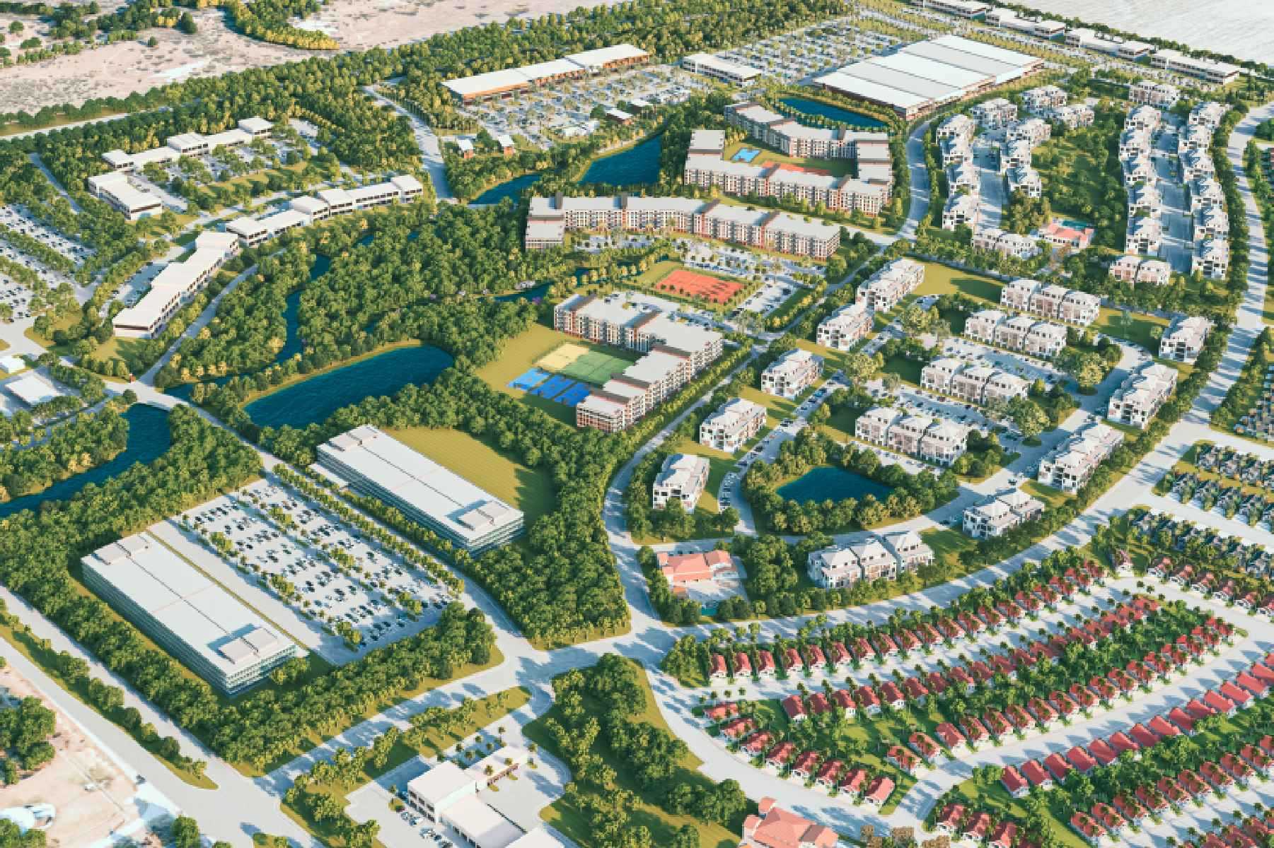
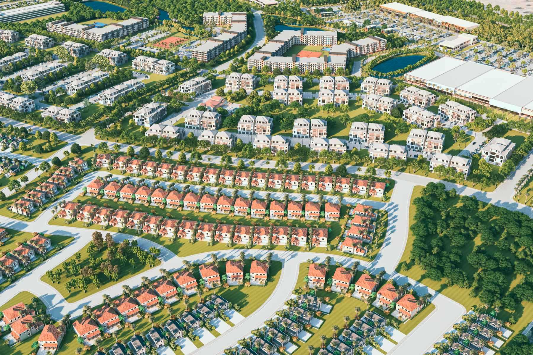
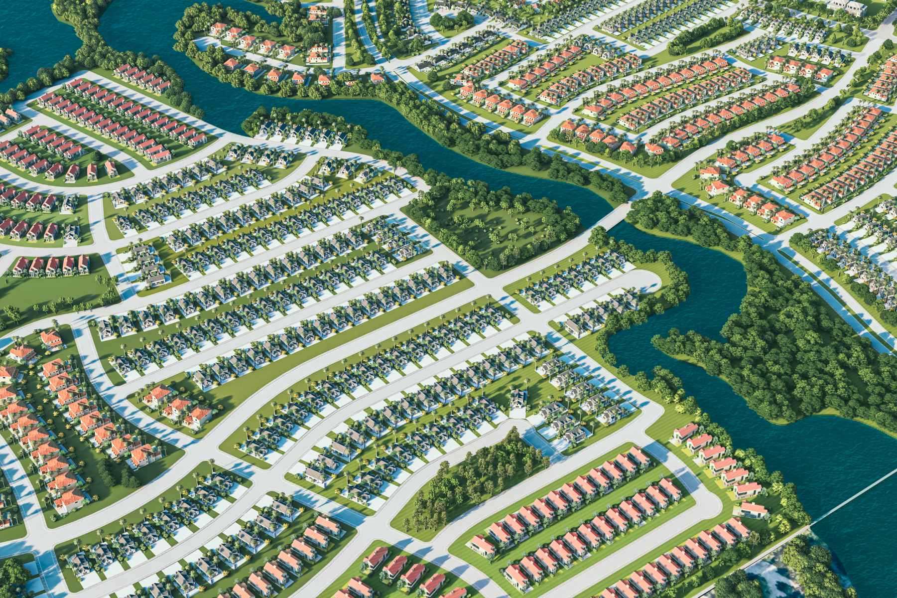
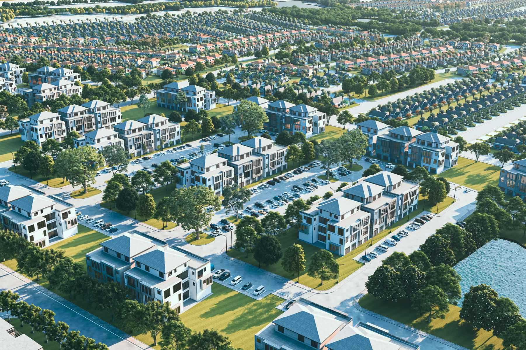
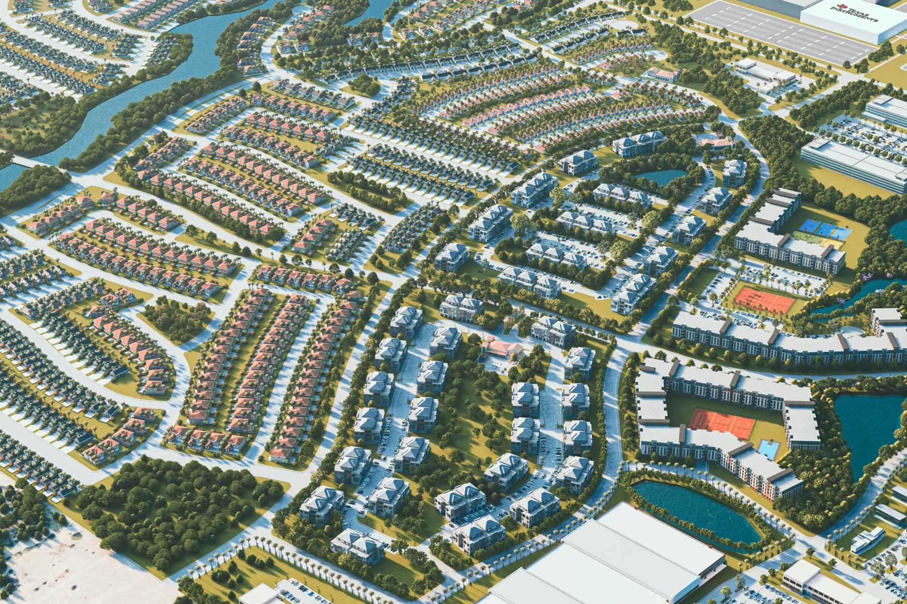
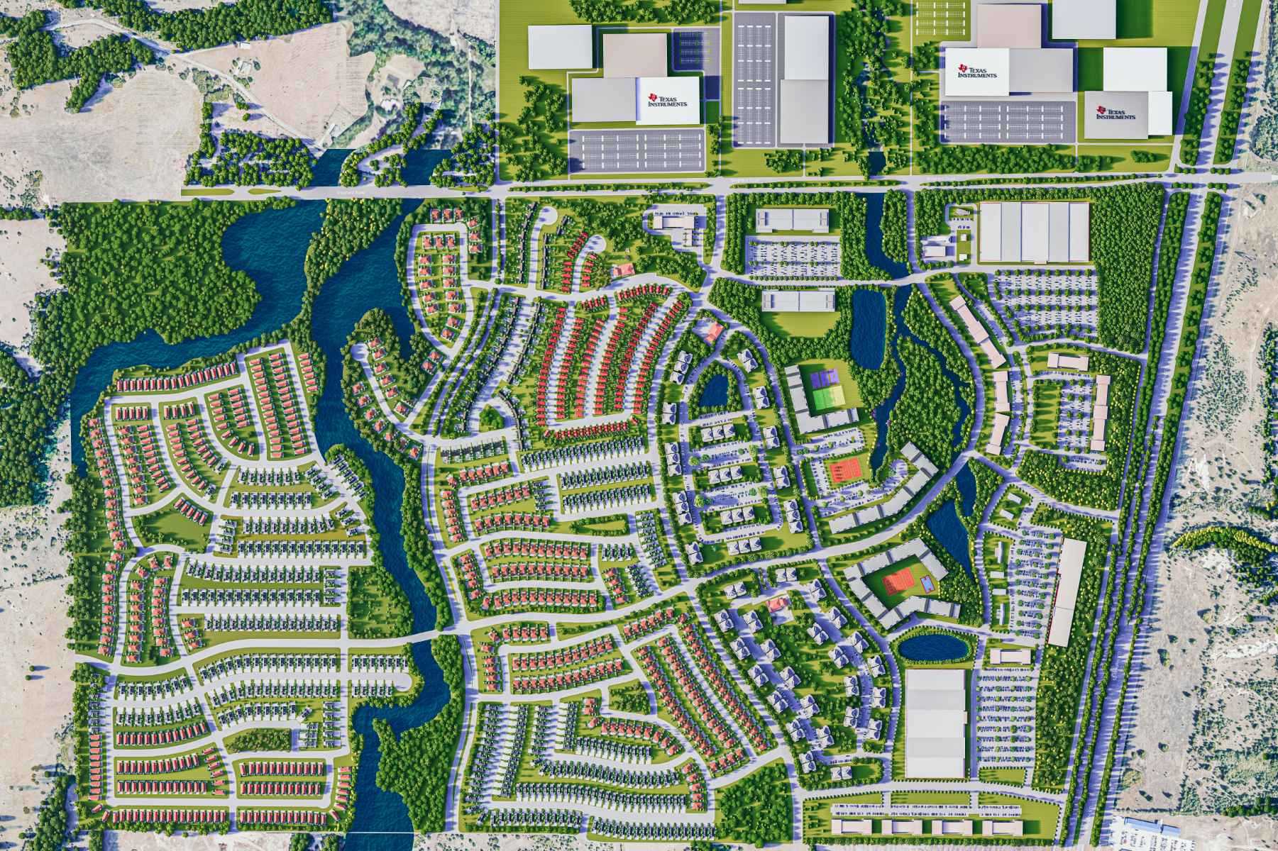
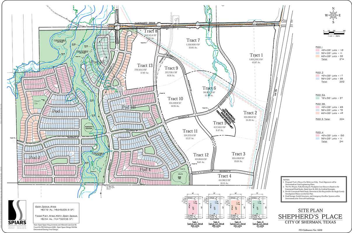
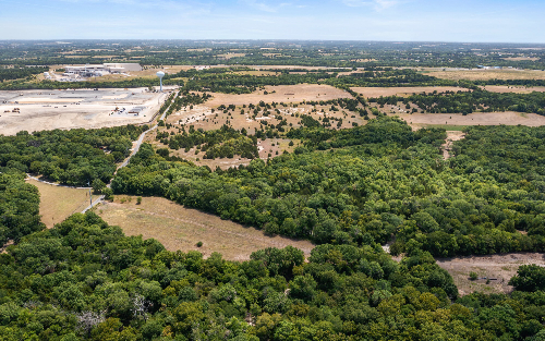
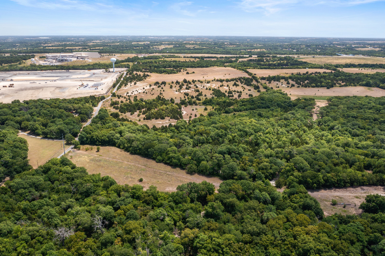
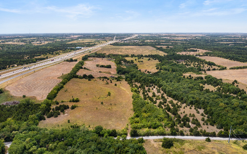
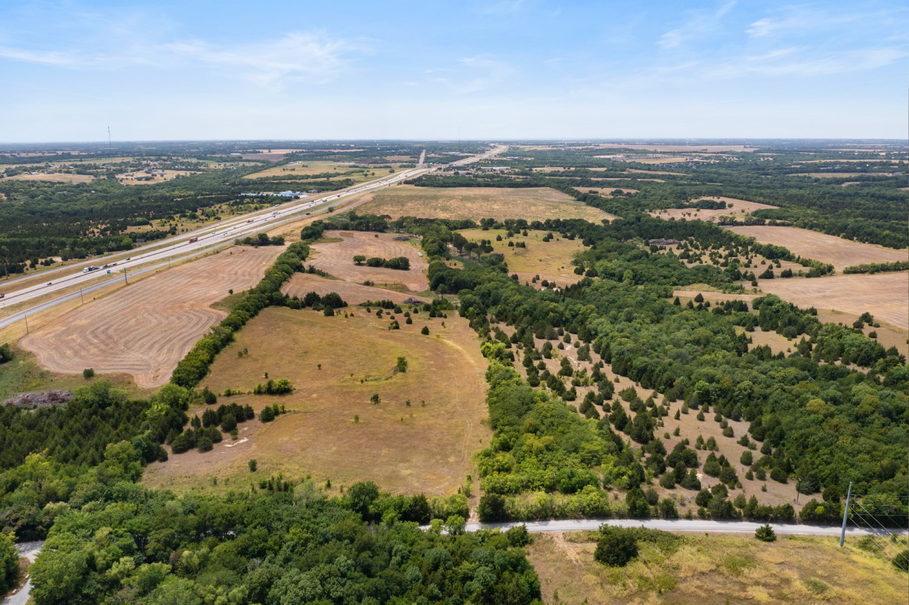
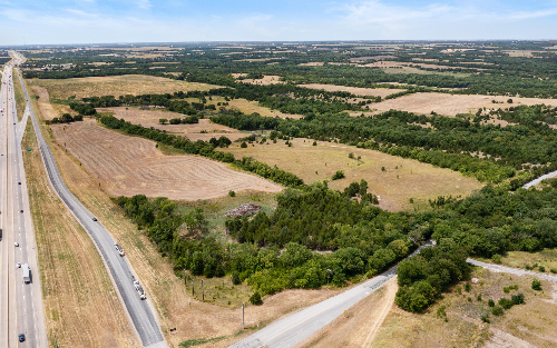
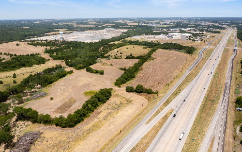
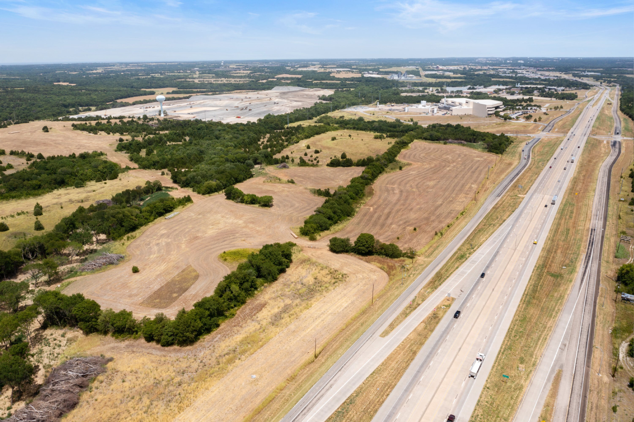
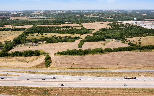
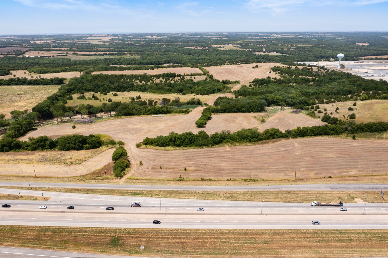
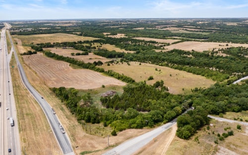
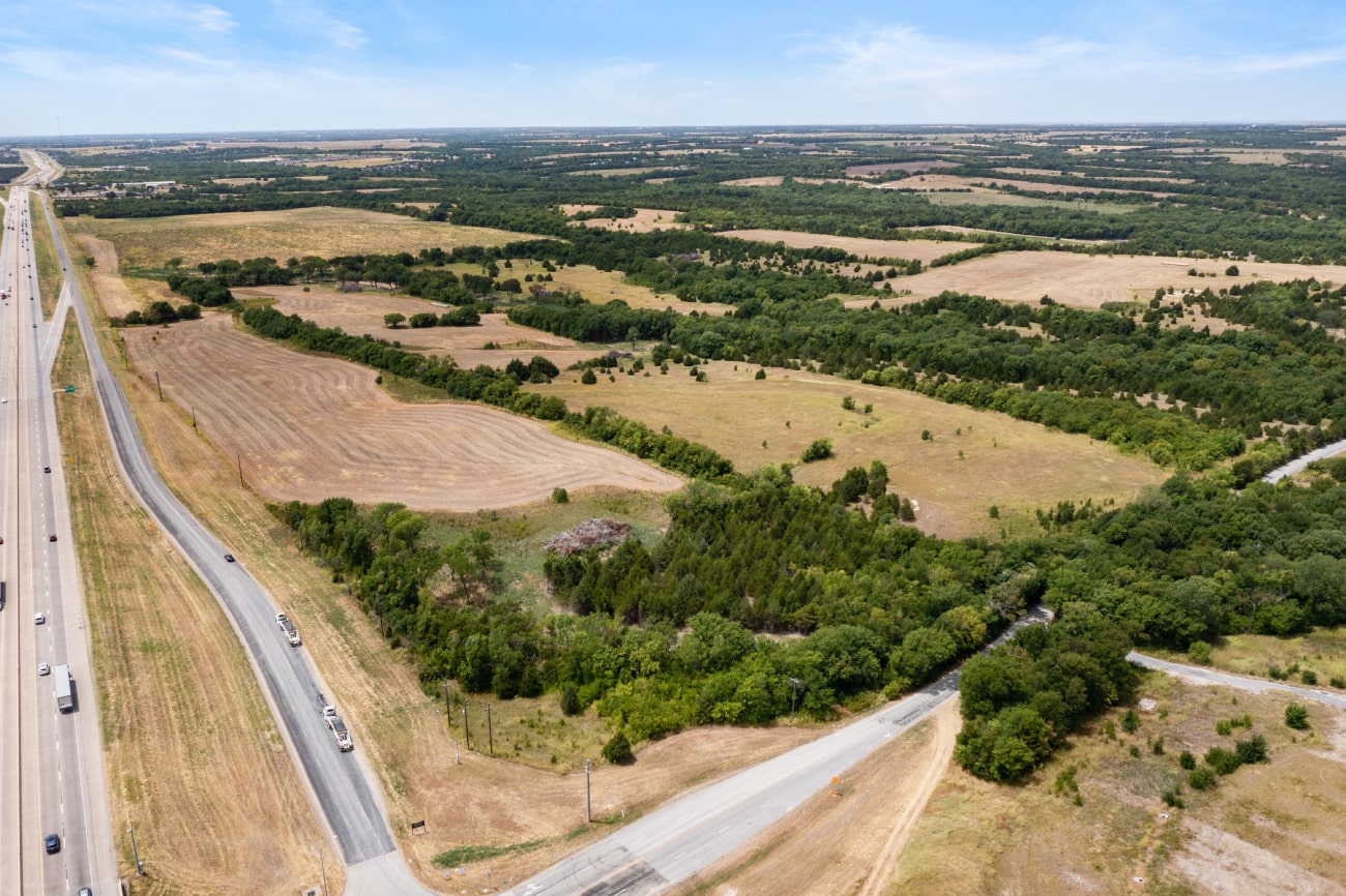
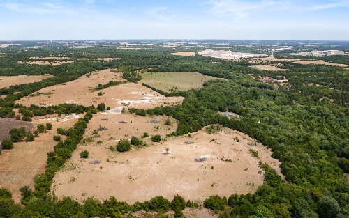
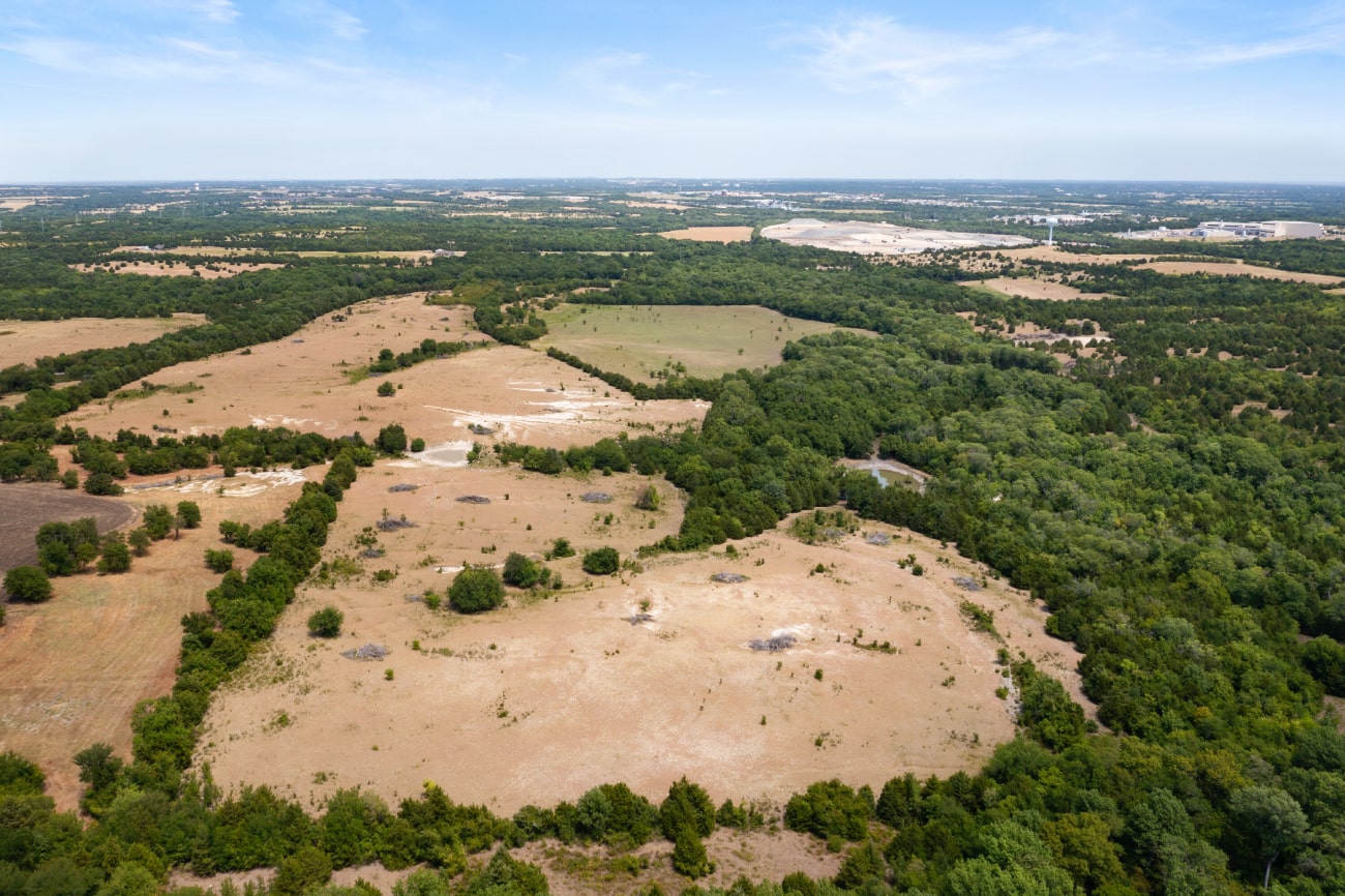
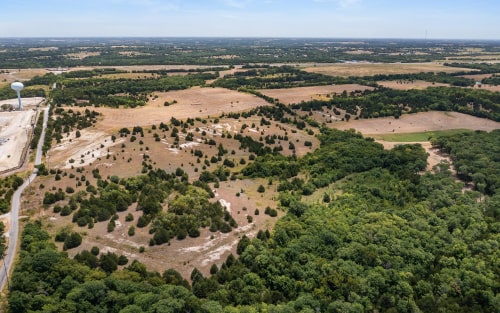
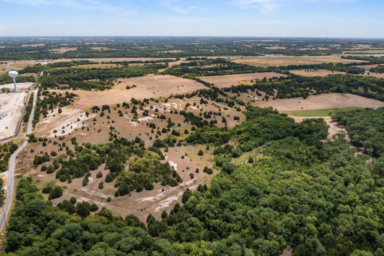
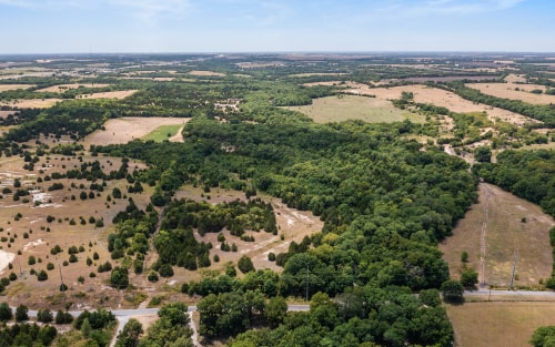
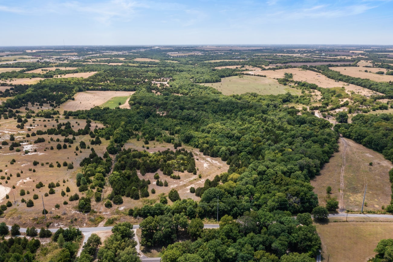
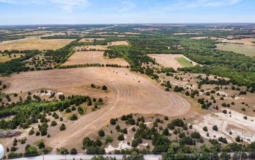
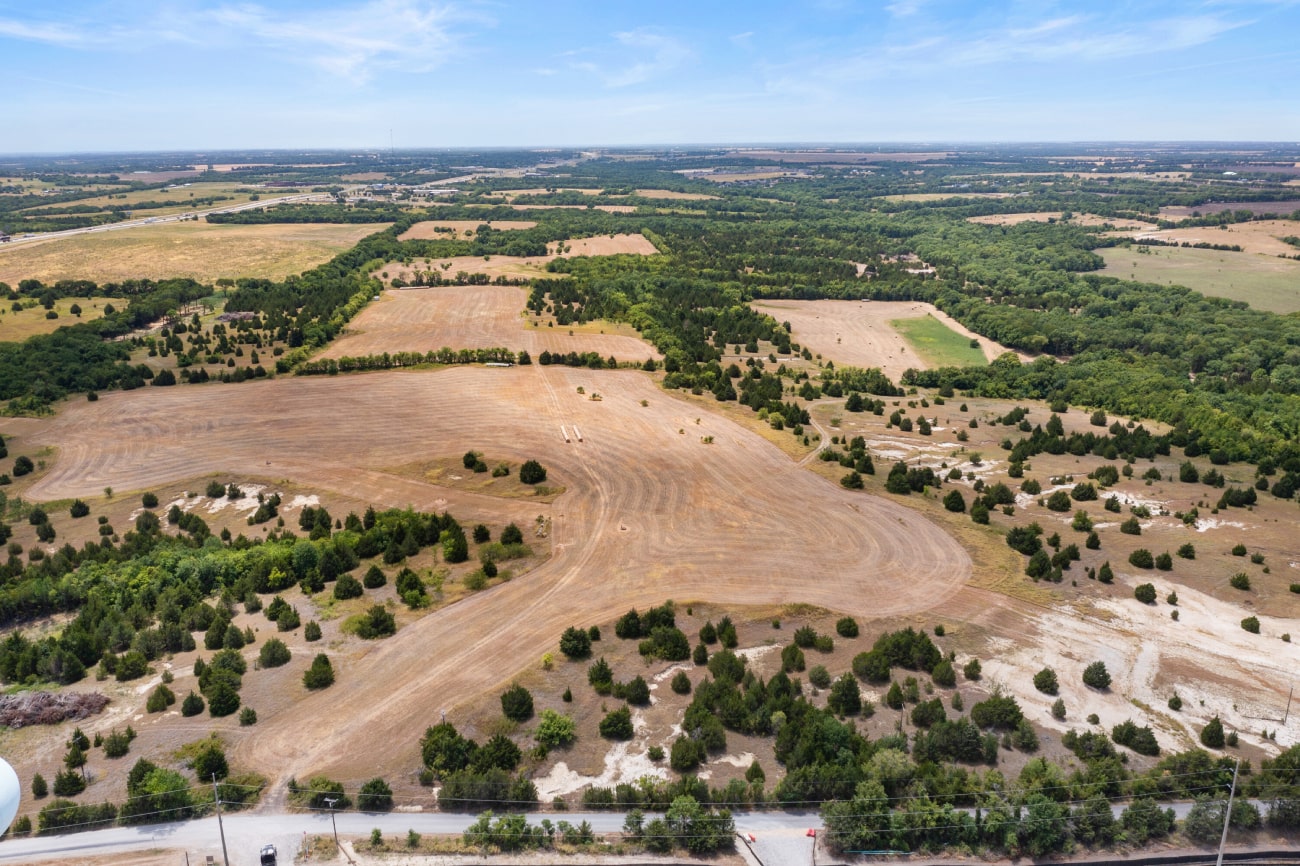
- This is a 531-acre land located in Grayson County at the SW quadrant of Central Expressway (US HWY 75) and Shepherd Road.
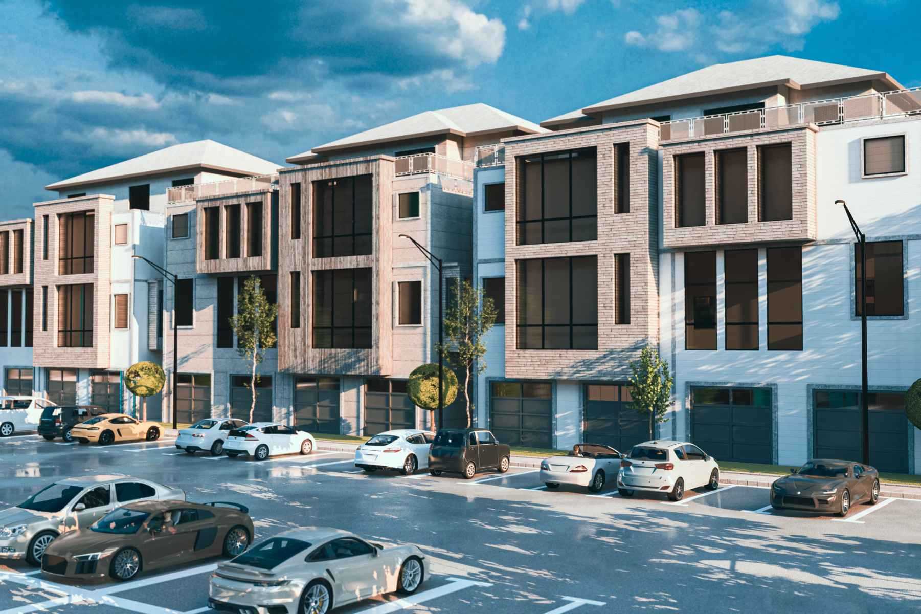
- A retail development is planned for this site, including 937 single-family units, 2,120 flex/multifamily units, and nearly 272,170 square feet of space. The development is intended to be staged over five years.
- This development concept has been approved as a Planned Development District by the Sherman, TX City Council on July 19, 2021.
- The site has existing infrastructure, including a 12” sanitary sewer line running the length of the site just east of Choctaw Creek, and a 24” line located a few hundred feet north of Shepherd Road at the adjacent Finisar site.
- Additionally, there is a 750,000 gallon elevated water tank positioned just north of the site, and a 24” water main within the Shepherd Drive ROW with a 12” water main loop already installed in the northernmost area of the property.
- The conceptual site plan proposes seven access points from Shepherd Road and an additional six access points along the US 75 frontage road.
- The Traffic Impact Analysis (TIA) estimates that up to 5% of the total land coverage will be allocated to commercial square footage.
- Shepherd Road is scheduled to be widened in 2023 to a four-lane median divided configuration.
- The site grades may result in adjustments to the concept plan, either with a reduction in the number of units or the inclusion of retaining walls to support the proposed density.
- The site is surrounded by single-family homes and vacant land to the west and south, while it is bordered by US Hwy 75 to the east. On the opposite side of the freeway, there is an area zoned for Medium Manufacturing.
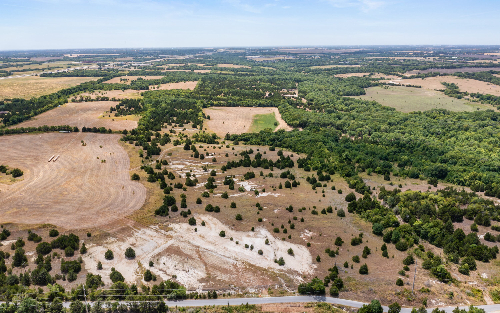
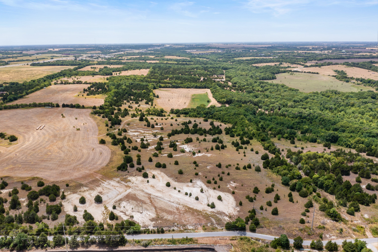
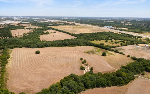
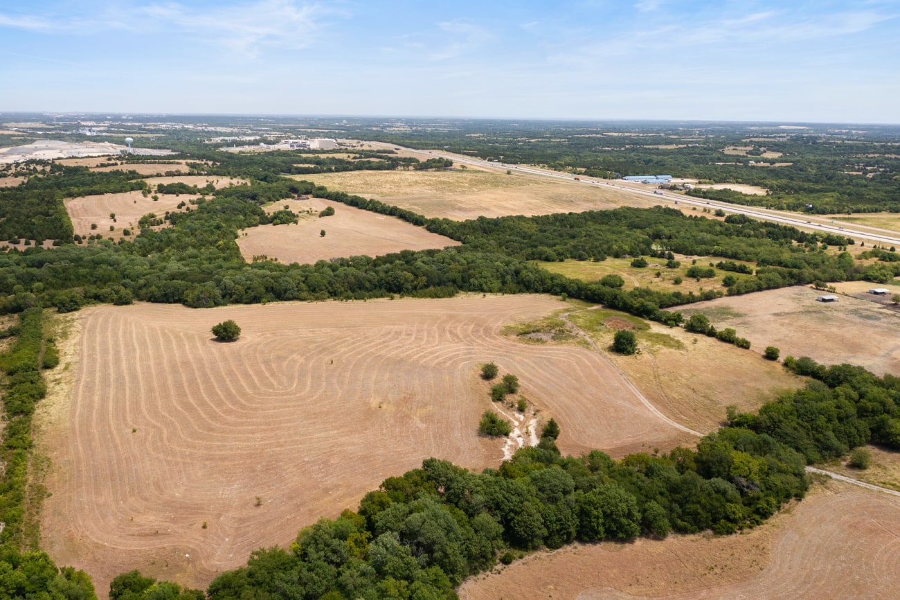
- Currently undeveloped, the property comprises a mix of pastureland and wooded areas.
- Based on the Grayson County Lidar Map, there is approximately a 140-foot elevation change from the high points of the site to the low areas of Choctaw Creek. The creek and a wetland located in the southern part of the site are under jurisdiction.
- The FEMA maps indicate that approximately 40 acres of floodplain exist on the site.
- There were no underground storm sewer drains found in the project vicinity.
- Overhead electric and telecom infrastructure appear to be adjacent to the northern project boundary within the right-of-way (ROW).
- Gas service will be provided by Atmos Energy, and electric service appears to be provided by ONCOR.
- Access work within the US Highway 75 ROW will require review and permitting from TxDOT.